|
Home > Saskatchewan
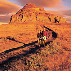
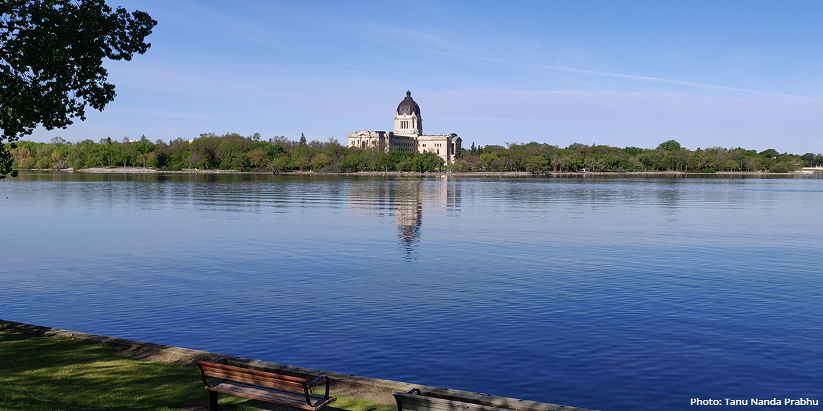 Wascana Lake and Saskatchewan Legislative Building, Regina, Saskatchewan Introduction to SaskatchewanSaskatchewan has been Canada’s central prairie province since 1905. Its unique name (originally used for a district of the Northwest Territories in 1882), comes from an English version of a Cree word, kisiskâciwanisîpiy which means “swiftly flowing river”.* With no particular metropolitan centre, Saskatchewan’s capital, Regina (south) and Saskatoon (further north), are its largest cities. The city of Estevan in southeast Saskatchewan is Canada's sunshine capital, averaging 2,540 sunshine-filled hours each year. Saskatchewan produces over 54% of the wheat grown in Canada. It’s also home to Canada's only training academy for the Royal Canadian Mounted Police (RCMP) in Regina. 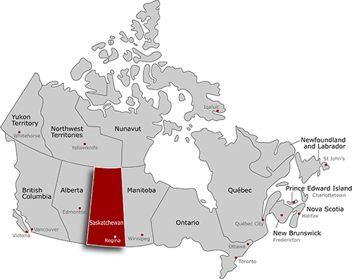 AreasBadlandsCypress Hills (spans across Saskatchewan-Alberta border) Sand DunesCities, Towns & CommunitiesCentralBiggar NorthCarrot River SouthAssiniboia ParksNP: National Parks Cypress Hills Introprovincial Park (spans across Saskatchewan-Alberta border) Saskatchewan TriviaFlag Nicknames Provincial slogan License plate slogans* News Other resources Interests in SK: Accommodation | Arts & Culture | Eat & Drink | Products & Services | Things to Do Saskatchewan FactsDate SK entered confederationSeptember 1, 1905 Area of SK651,036 sq km (251,366 sq miles) TopographySaskatchewan has two main geographical regions: the Canadian Shield in the north and the Interior Plains in the south. Northern Saskatchewan has boreal forest (except for the Athabasca Sand Dunes, the largest active sand dunes in the world north of 58°). Southern Saskatchewan has sand dunes known as the Great Sand Hills. There are the Cypress Hills in the southwestern corner of Saskatchewan and the Killdeer Badlands (Grasslands National Park). Capital city of SKRegina Population of SK1,132,505 (Statistics Canada, 2021 Census) Residents are known asSaskatchewanians or Saskatchewanites Indigenous people of SKThere are 70 First Nations in Saskatchewan, 61 of which are affiliated to one of the nine Saskatchewan Tribal Councils. Languages include Cree, Dakota, Dene (Chipewyan), Nakota (Assniboine) and Saulteaux. Main SK industriesAgriculture, mining and energy SK statutory holidays (in addition to national holidays)Family Day (third Monday in February) Professional sports teamsSaskatchewan Roughriders (football)  Source: Government of Canada Maps ClimateSaskatchewan has more hours of sunshine than any other Canadian province. It has continental climate in the central and eastern part of the province. It has a semi-arid steppe climate in the south and southwest. Northern Saskatchewan has a subarctic climate. Summers can get very hot (32C+). Winters can be bitterly cold (-17C to -40C) for weeks at a time. Time zoneCentral Standard Time (CST) year-round (on daylight savings time all year with no time changes in spring and fall) Owned and operated by Canadian Only Inc. Copyright 2000-2025 |


